9.1 Cartography and Imagined Nation
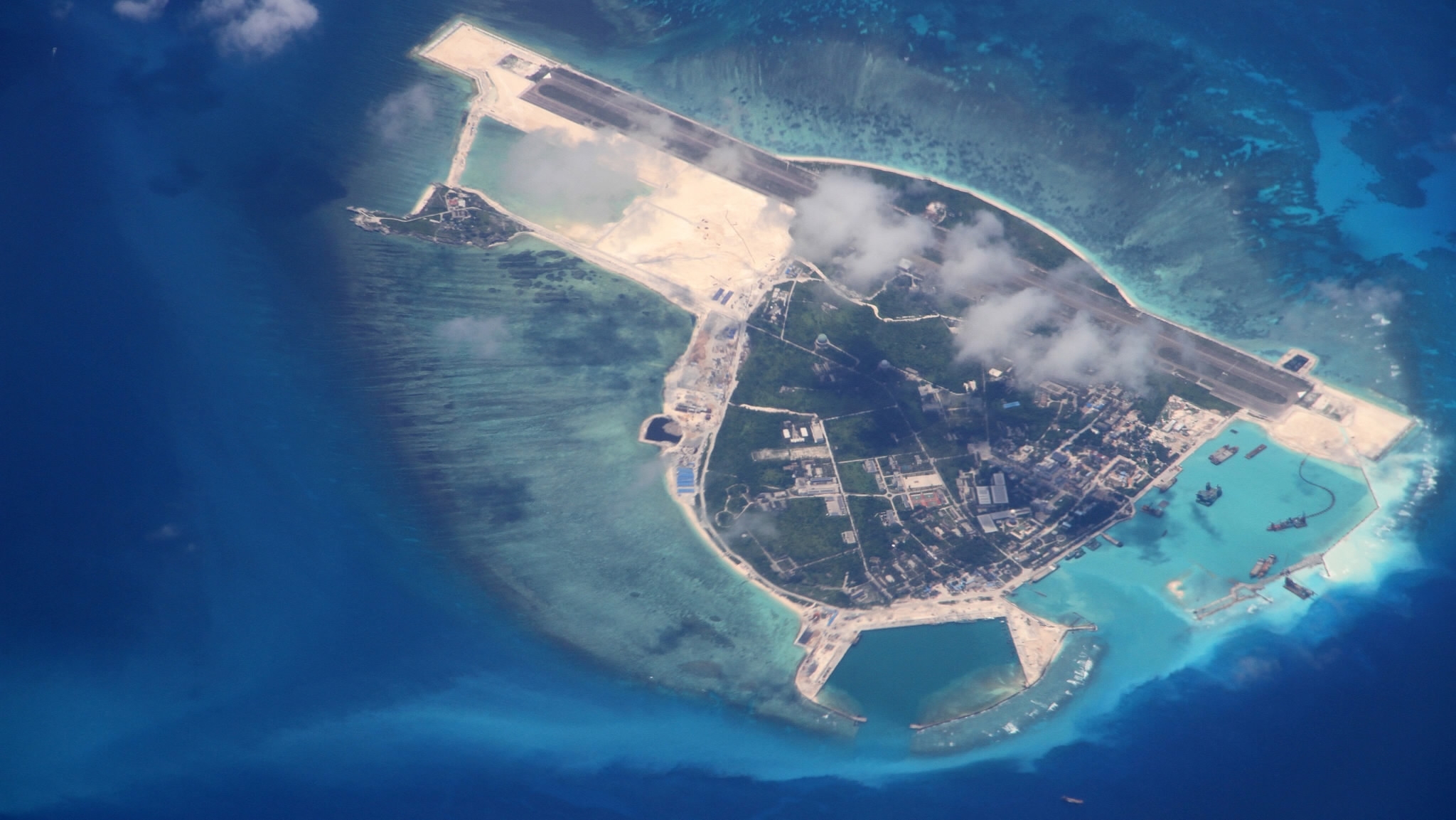
Sansha City, Yongxing Island (Xisha Islands). Source.
Today
- Explore the role of maps and cartography in the 20th century history of national territorialization.
- Analyze the differences between thinking about territory geopolitically and in terms of the geobody.
Reading
Callahan (2009)
Key concepts
- imperial vs. sovereign territory
- national geo-body
Reading Response
Imperial and sovereign territory
Imperial territory
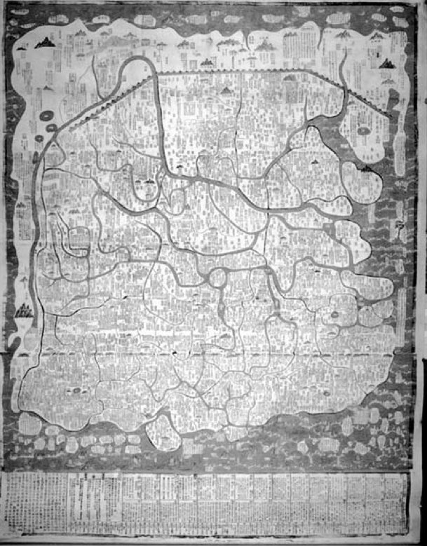
The territoriality of imperial China was different than that of the modern state. Territory was imagined and organized in terms of imperial hierarchy, with clear detail at the center that falls off as you reach the periphery.
Such maps represent not a homogeneous space of equal sovereignty and legitimacy but a hierarchy of concentric circles with diminishing sovereignty as one travels from the imperial capital out to the periphery of provinces, vassal states, and finally the barbarian wilderness. (p.149)
Sovereign territory
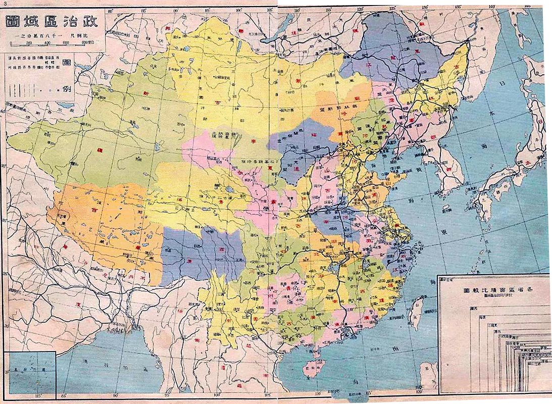
In contrast to imperial territory, sovereign territory concerns land controlled by a sovereign state, usually with clear, mutually recognized “modern” borders.
The fall of the Qing Dynasty and the founding of the Republic of China (in 1912) called for new national maps to know just what the Republic ruled.
A parallel crisis of foreign pressure at the Republic’s borders meant a frontier crisis, which also demanded new cartographic knowledge.
The first scientific geographic surveys of Chinese territory took place in the early decades of the 20th C, and that the first maps based on these surveys became publicly available only in the 1930s
These first national maps and atlases, published in the 1920s, were the basis for cartography in the Mao era.
The national geobody
- geobody
- the felt, imagined, and visualized territory of the nation
- territorialization of the geobody
- social, cultural and political discourses and practices go into making territory something identifiable to both a state movement and to the people it seeks to govern; a way of talking about territory that gets away from the simple correspondence of map to land, and borders to a space of political control
The state seeks to match territorial and cultural boundaries not only through military coercion and fiscal regulation but also through a management of identity practices. (Callahan p.144)
As state-building projects of the early 20th century envisioned different nations (Fitzgerald’s “nationless state” idea), so too did they envision a national territory, both in terms of modern geopolitical boundaries and in terms of a cartographic imagination of past traumas and desired futures.
The borders of the Chinese geobody are neither obvious nor fixed; they are contingent on historical events and are framed by cartographic conventions. China’s borders are the product of debate and struggle as the country has gone through major transitions first from an empire to a nation-state in the early twentieth century, and now from an isolated revisionist state to an engaged superpower at the turn of the twenty-first century. (Callahan p.145)
…these cartographic strategies produce China’s national geobody by linking imperial domain with sovereign territory. (161)
Wrap up
- I’ll be changing around the schedule for the next couple weeks to accommodate additional time for essay drafting, the writing workshop, and a guest lecture next Thursday. More to come next class.
For next class
- Review Callahan (2009), looking for the use of the term geobody. We’ll be focusing on that on Thursday.